File:Tha Thong river.jpg

Size of this preview: 800 × 533 pixels. Other resolutions: 320 × 213 pixels | 640 × 426 pixels | 1,024 × 682 pixels | 1,280 × 853 pixels | 1,768 × 1,178 pixels.
Original file (1,768 × 1,178 pixels, file size: 134 KB, MIME type: image/jpeg)
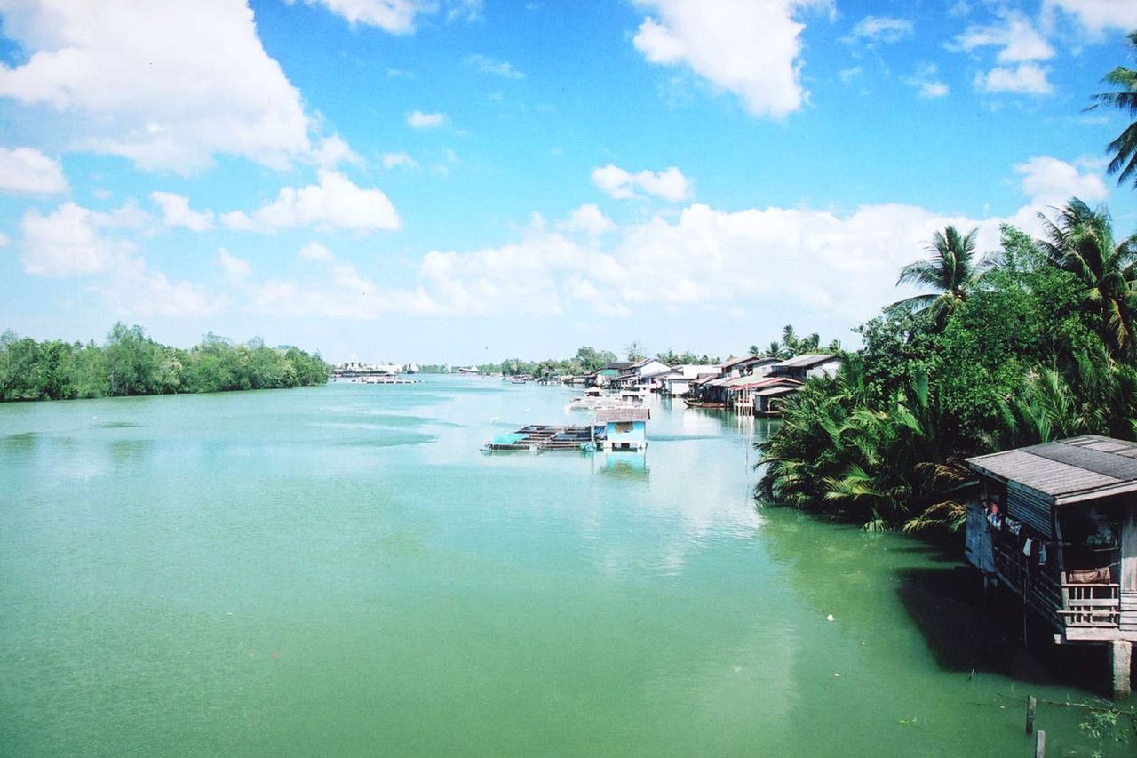
Tha Thong river (แม่น้ำท่าทอง), Surat Thani province. View from the bridge of highway 401 connecting Surat Thani town with Kanchanadit. Photo by User:Ahoerstemeier taken on January 21 2005.
| Camera location | | View this and other nearby images on: OpenStreetMap |
|---|

|
Permission is granted to copy, distribute and/or modify this document under the terms of the GNU Free Documentation License, Version 1.2 or any later version published by the Free Software Foundation; with no Invariant Sections, no Front-Cover Texts, and no Back-Cover Texts. A copy of the license is included in the section entitled GNU Free Documentation License. |
| This file is licensed under the Creative Commons Attribution-Share Alike 3.0 Unported license. | ||
| ||
| This licensing tag was added to this file as part of the GFDL licensing update. |
This file is licensed under the Creative Commons Attribution-Share Alike 1.0 Generic license.
- You are free:
- to share – to copy, distribute and transmit the work
- to remix – to adapt the work
- Under the following conditions:
- attribution – You must give appropriate credit, provide a link to the license, and indicate if changes were made. You may do so in any reasonable manner, but not in any way that suggests the licensor endorses you or your use.
- share alike – If you alter, transform, or build upon this work, you must distribute the resulting work under the same license as the original.
File history
Click on a date/time to view the file as it appeared at that time.
| Date/Time | Thumbnail | Dimensions | User | Comment | |
|---|---|---|---|---|---|
| current | 21:20, 26 July 2005 | | 1,768 × 1,178 (134 KB) | Ahoerstemeier | Tha Thong river (แม่น้ำท่าทอง), Surat Thani province. View from the bridge of highway 401 connecting Surat Thani town with Kanchanadit. Photo by User:Ahoerstemeier taken on January 21 2005. {{GFDL}} {{cc-by-sa}} [[Category: |
File usage
There are no pages that use this file.