File:EC map of poland2.png
No higher resolution available.
EC_map_of_poland2.png (600 × 548 pixels, file size: 332 KB, MIME type: image/png)
| Description |
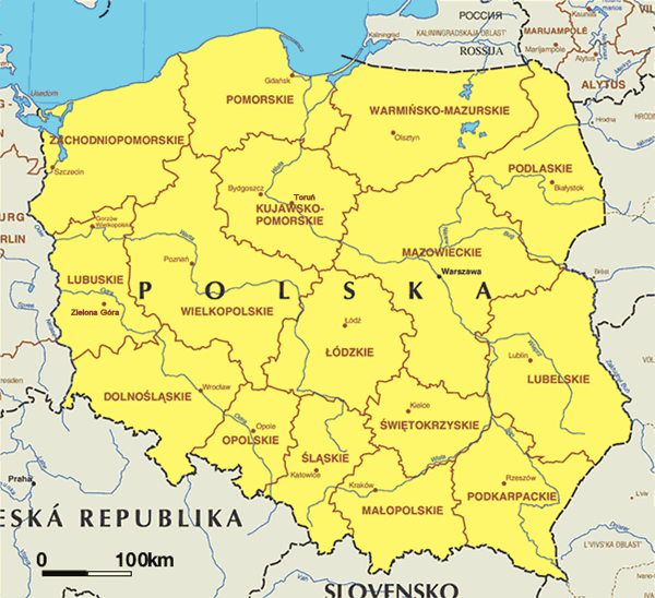
English: Administrative map of Poland. Lambert azimuthal equal-area projection - small correction to Image:EC map of poland.png - regarding voivodship capitals |
| Date | Map updated first quarter of 2004. |
| Source | Europa - The EU at a glance - Maps - European Commission, Directorate General for Press and Communication. |
| Author | Cartography by Lovell Johns. Consultant: BC Geomatique, University of Liege - Uploaded on 2005.02.26 by Micga. |
| Permission (Reusing this file) |
- Copyright of this map is owned by the European Commission but reproduction is authorized. |
| Other versions | Image:EC map of poland.png |

|
The copyright holder of this file allows anyone to use it for any purpose, provided that the copyright holder is properly attributed. Redistribution, derivative work, commercial use, and all other use is permitted. |
|
|
File history
Click on a date/time to view the file as it appeared at that time.
| Date/Time | Thumbnail | Dimensions | User | Comment | |
|---|---|---|---|---|---|
| current | 20:54, 16 May 2005 | | 600 × 548 (332 KB) | EAJoe~commonswiki | small correction to EC_map_of_poland - regarding voivodship capitals |
File usage
There are no pages that use this file.